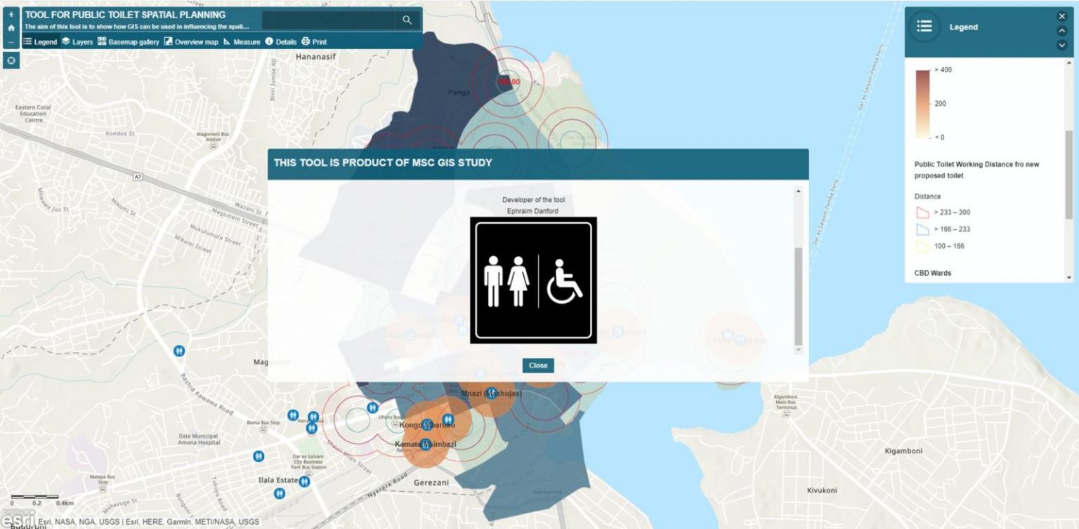
The aim of this tool is to show how GIS can be used in influencing the spatial planning model that facilitates accessibility and use of public toilets in Dar es Salaam Central Businesses District. GIS is used to systematise the decision-making process for proper planning of public toilet. It has also been shown that the integration of GIS in public toilet planning can ease a process of developing public toilet locator tool. The developed plan could give more than 80% individual of who are commuting to the city centre access to public toilets. GIS has enabled us to have a more conceivable picture of the area