One of the definitions of remote sensing is “remote sensing is the acquisition of physical data of an object without touch or contact”. July 1972 marked the birth of launching the first earth satellite (LANDSAT). Since then many satellites were launched among which are SPOT, IRS, IKONOSS, QUICKBIRD …etc. Techno-environment investment company prepare themselves to use new high resolution (1m) IKONOS and Quickbird satellite imaging in producing large scale maps for many cities and villages inside Tanzania.
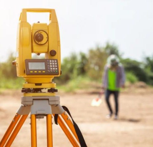
Rectification and Geo-referencing of these images were based on GCP’s mainly from GPS surveys. Field teams are usually sent to the site to collect relevant attribute data.